People have asked why I'm being so tough on BELZEBUB2 crew which claims to have made a McClure Strait transit?
Considering there has never been a private yacht transit through McClure Strait in the past 161 years of recorded history it seems very appropriate to ask the question, "Why has there been no BELZEBUB2 crew evidence published 6 months after making the claim"? Maybe their claim is false?
M/V POLAR BOUND provided their 2012 historic transit details: (http://en.wikipedia.org/wiki/David_Scott_Cowper)
At 15.33Z on 29 August 2012, David Scott Cowper and Jane Maufe aboard motor yacht Polar Bound, became the first yacht to navigate west of Cape Prince Albert on the original Northwest Passage through McClure Strait discovered by Captain Robert McClure aboard HMS Investigator in 1851. Polar Bound departed Portrush, Northern Ireland on Thursday 2 August 2012 at 1030 GMT and arrived at the port of Nome Alaska on Friday 7 September 2012 at 1800 GMT completing an official Northwest Passage by crossing both the Atlantic Arctic Circle 17 August at approximately 1000 GMT@ 66.31 N 54.20 W and crossed the Pacific Arctic Circle Thursday 6 September at approximately 0640 GMT at 66.31 M 167.59 W. This northwest passage was just under 20 days transit. (Polar Bound provided near real-time voyage GPS updates over shortwave HAM radio through the APRS Automatic Packet Reporting System onto the Internet at http://aprs.fi/vp8deu).
Why has BELZEBUB2 crew not provided GPS logs, headland pictures, videos with their GPS digital position, or a SHIP'S LOG? Because they did not navigate McClure Strait west of Cape Prince Albert? I find it troubling that a young group of adventurers with so many high tech devices and computer savvy abilities have failed to further their claim... might be that it does not exist and if they did try fabrication of informations to further their claim then it creates even more doubts... and ultimately have to admit that their webmaster father 'hand-crafted' their website GPS trackline graphic... that they didn't make it west through McClure Strait... did they use Prince of Wales Strait? Another yacht used the Prince of Wales Strait during 2012.
Don't you find it interesting that it has been 6 months since claiming to have navigated through McClure Strait - they have not provided any personal details of their claim - photos, videos, GPS data file or their SHIP's LOG... just a lot of talk... no evidence... do you know of something?
It is BELZEBUB2 crew's claim - the proof is their responsibility - no one else - until which is shown otherwise it is just cocktail hour talkings - a repeat of their behavior upon arriving Nome which resulted in a brawl and a run-in with Nome Police. Their track record speaks loud in the vacuum of evidence they have created... 'can you hear me'?
I'd love to see the evidence and know the truth. When there is no evidence - being kept a secret by all three crew persons for 6 months - you can draw your own conclusions.
Remember - the news media is only telling what they have been told by BELZEBUB2 crew - when I asked the media what evidence BELZEBUB2 crew provided the answer was "they just said they did it" which is like saying "the ice is melting and we have pictures". What does that really mean? Where, dates, observations, logs etc... nothing has been published or peer reviewed - no self respecting scientist would make a claim without proof - why should a boater be able to do otherwise. Publish the SHIP's LOG. Show us headland pictures, show us your video with GPS position... its all up to you.
What say you BELZEBUB2 crew????
FYI - I tried to publish this comment but your website refused to accept it - nice way to keep things under your control rather than allow open constructive comments.
BELZEBUB2 Website: http://belzebub2.com/

Website: http://international.findmespot.com/
Thinking of an Arctic Northwest Passage? Checkout this excellent document: http://www.rccpf.org.uk/publications/arctic/arctic-intro (more links clicking necessary)
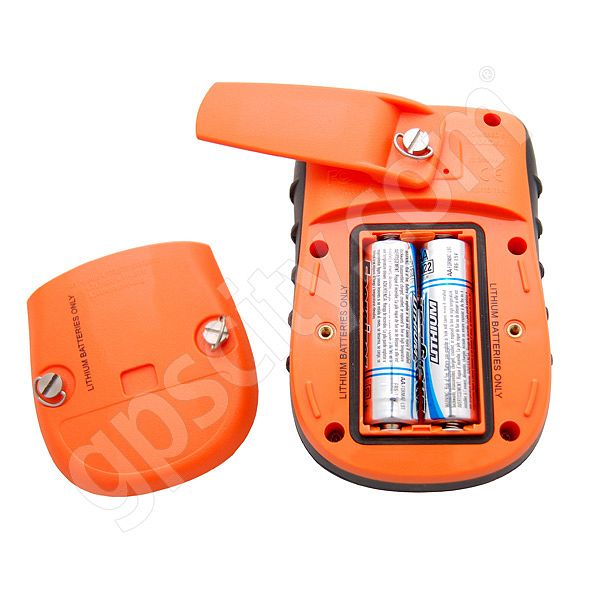
SPOT is very good for the low cost fee... Stay in touch with friends and family.
I'd also suggest a satphone, i.e. Iridium but you will be spending thousands of dollars but have a much greater capability - two-way voice, data, e-mail, ftp etc...

Want to learn how to cost effectively communicate while at sea - contact me and I'll provide you with the details - I can save you 50% - guaranteed!
2 comments:
Spot does not work in high latitudes reliably look at the coverage chart map not reliable Epirb is a much better safety system
Looking at the coverage map for Arctic Canada and Alaska it is OK - http://www.findmespot.ca/en/index.php?cid=109 Yes, add a 406/409MHz EPIRBs is another alternative - why not add a PLB and AIS beacon. Can you have to much safety equipment?
Bottom line - I'll take and use the SPOT so friends and family know our where-abouts and our safety status. An EPIRB does nothing to inform friends and family - just the response agency when you need assistance - get all of them but know their limitations.
Post a Comment
Enter your comment(s) here...